MAPS AND TURN-BY-TURN TRAIL GUIDES TURN BY TURN TRAIL GUIDE A turn-by-turn guide to the Laura Secord Legacy Trail is available below in downloadable PDF version or in a...
Author - Friends of Laura Secord
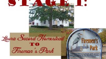
GOOGLE MAP SATELLITE BASE MAP Distance: 7.25 km Average Walking Time: 2 hr. 15 min. Stage 1 starts at the historic Laura Secord Homestead in picturesque Queenston...
GOOGLE MAP SATELLITE BASE MAP Distance: 6.73 km – Average Walking Time: ~ 2 hrs. Stage 2 of the Legacy Trail starts in the wooded stands and open spaces of...
GOOGLE MAP SATELLITE BASE MAP Distance: 9 km – Average Walking Time: 2 hrs. Stage 3 of the Laura Secord Legacy Trail begins at the transit loop at Niagara College...
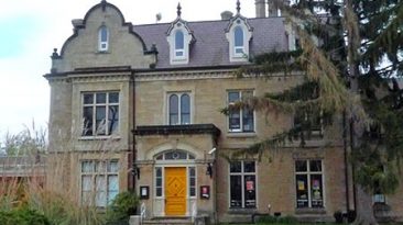
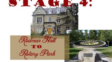
GOOGLE MAP SATELLITE BASE MAP Distance: 4.28 km – Average Walking Time: 1.5 hrs. At Rodman Hall, you will make your way to the pergola in the Walker Botanical...
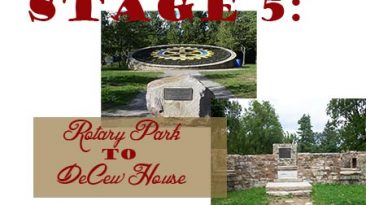
GOOGLE MAP SATELLITE BASE MAP Distance: 4.43 km – Average Walking Time: 1.5 hrs. From Rotary International Friendship Park, St. Catharines, follow the gravel path...
DateEvent2019Laura Secord Walk 20192017First Nations Peace Monument Opening2015Laura Secord Weekend 2015 Laura Secord Weekend 2015 – Photos!2014Reflections on...
The Friends of Laura Secord gratefully acknowledge the cooperation of the newspapers, media outlets, videographers and bloggers which have allowed us to share the...

